About us
The ForSys Research Consortium brings together educators, researchers, and practitioners with interests in the application of ForSys for landscape scenario planning.


Our Mission
We seek to modernize decision support tools that support the capacity of public land managers to build spatially-explicit landscape restoration plans and to communicate land management decisions at a range of scales. To support this mission ForSys is built to support collaboration with communities and partners while delivering peer-reviewed science and technology.
Our Story
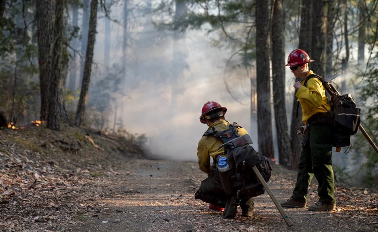
ForSys was developed as an operations research tool to explore a wide range of forest landscape prioritization problems on western US national forests. The early goal of the work was to improve ad hoc methods used by forests to prioritize projects and design landscape treatments to address the backlog of restoration needs.
The modeling platform has subsequently been used in over 30 projects, many of which were published as journal articles and eventually used by national forests to guide their program of work. Over its evolution, ForSys has provided several key functionalities that were not available to field units, including spatial optimization algorithms that could be used to generate large numbers of scenarios and analyze tradeoffs among competing restoration goals.
ForSys became the foundation for the US Forest Service’s Scenario Investment Planning Platform, a modeling workbench that integrates existing research models and data into a simulation framework that allows users to quickly formulate management scenarios and simulate implementation. Application expanded to educational institutions, NGOs, and state agencies. To meet the research needs of this diverse user group we created the ForSys Research Consortium as a collaborative environment for development and technology exchange. The Forest Service’s participation in the Consortium is mediated through a Collaborative Research and Development Agreement with this website’s sponsor, Wildfires.org.


Our Consortium
The ForSys Research Consortium includes universities, public land management agencies and non-profit and for-profit companies with interests in the application of ForSys for collaborative landscape planning. The Consortium is open to new collaborators.

University of California, Berkeley
Colleagues at UC Berkeley's Rausser College of Natural Resources are using ForSys to teach a class on forest ecosystem management and planning. Students are getting hands-on training on the application of ForSys to build optimized forest and fuel management scenarios on California landscapes. Our UC colleagues are also helping planners on several national forests complete NEPA analyses on landscapes in the Sierra Nevada.

Vibrant Planet
The ForSysR code for the patchmax algorithm was incorporated into the Vibrant Planet Land Tender planning system.
Planscape
The California Natural Resources Agency contracted Google.org and later Spatial Informatics Group to build Planscape, a cloud based planning system that calls ForSysR for targeted application in California as part of the “million acre initiative”, a commitment by the USDA Forest Service and the State of California to collectively treat a minimum of 1 million acres annually by 2025.

Washington State Department of Natural Resources
Collaborators at the Washington State Department of Natural Resources are teaming up to pilot a process for the collaborative prioritization of landscape-scale forest and fuel treatment projects in eastern Washington.

Kingbird Software
Kingbird Software brings its expertise in large spatial data processing and innovative solutions to complex spatial prioritization problems.

Portland State University
Research associates at Portland State University maintain and author the ForSysR github repositories and collaborate on research for applying new spatial algorithms with the ForSys spatial optimization.

Oregon State University
Research associates at Oregon State University have been involved in the ForSys model for close to ten years authoring the original ForSysR version and collaborating on the large body of peer-reviewed research.
USDA Forest Service, Rocky Mountain Research Station
Foundational research by scientists at the Rocky Mountain Research Station led to the creation of the ForSys model. New applications of the model are continually explored building on the body of peer-reviewed research.

Start Using ForSys
ForSys is designed to help managers create spatial prioritization plans that meet predefined goals and targets while considering constraints to achieve them. The model was developed with an emphasis for wide application by non-technical users, and thus optimization is accomplished with a relatively simple greedy spatial heuristic instead of more complicated mathematical programming approaches used in many other planning systems. ForSys was developed for multiple platforms including windows desktop (ForSysX) and in R (ForSysR).
Check Our Case Studies
Show More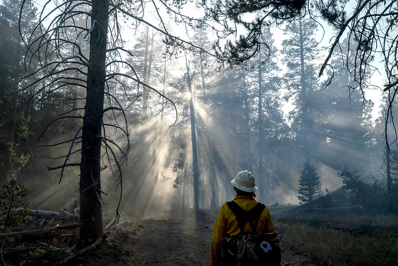
Prioritization to Support the Development of an Environmental Impact Statement and Records of Decision